Pacific Village Explorer
Top 12 finalist · 2026 Humanitarian Innovation Hackathon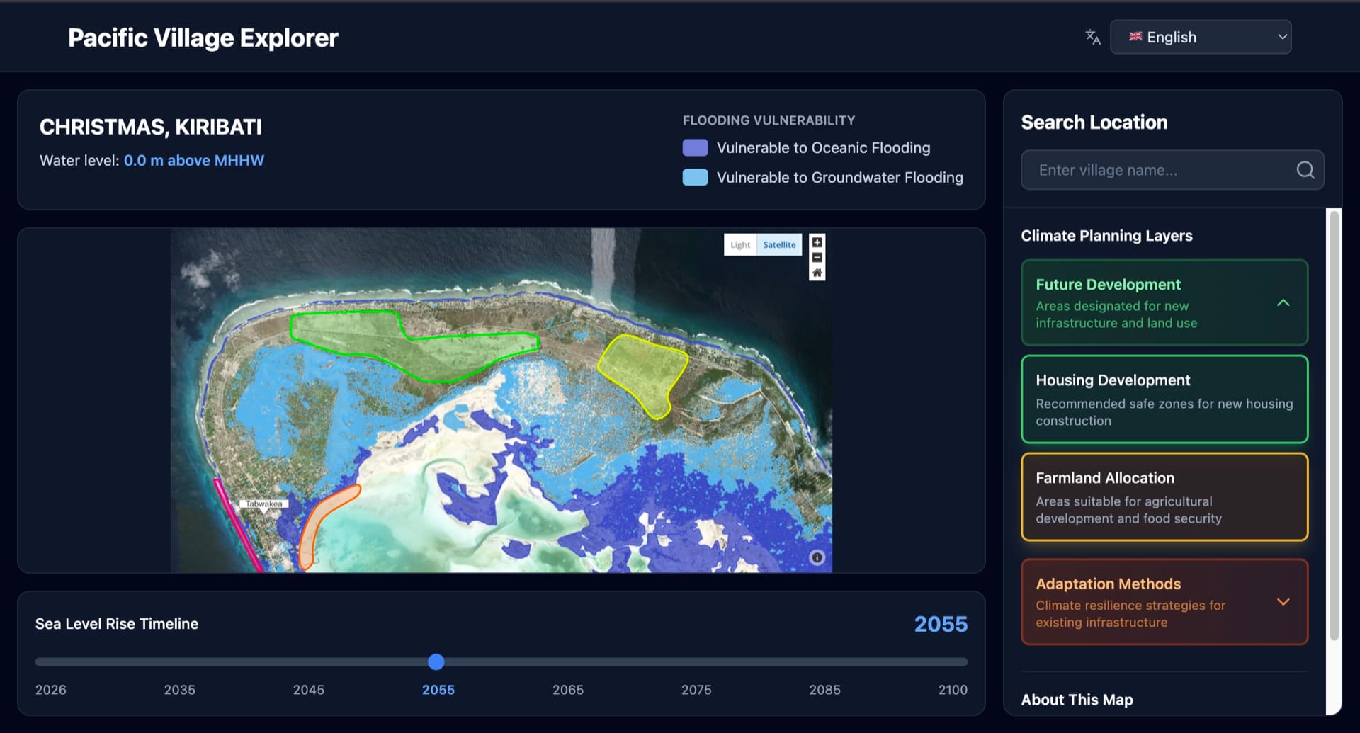
Problem
A village council deciding where to rebuild after a flood, where to move a school, or how to farm ground turning saline has no way to see its own coastline in twenty years. The digital twin platforms that answer that cost over $10,000 per site and need technical staff villages do not have.
Approach
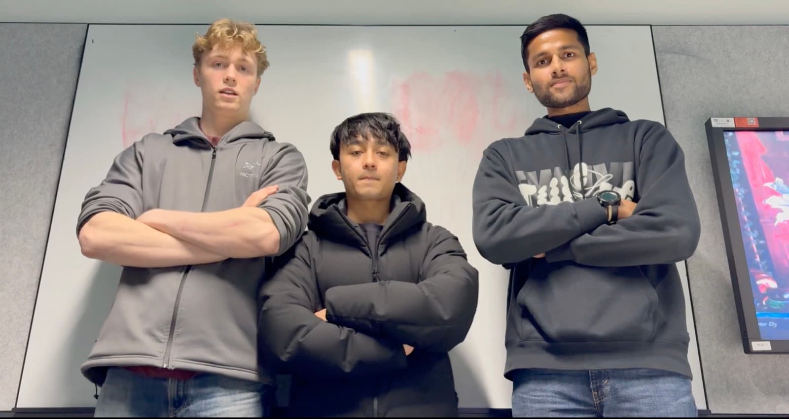
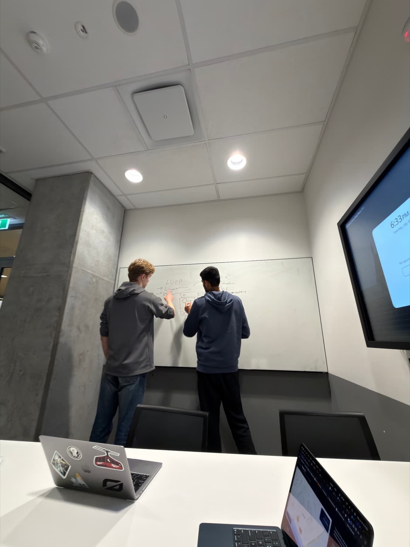
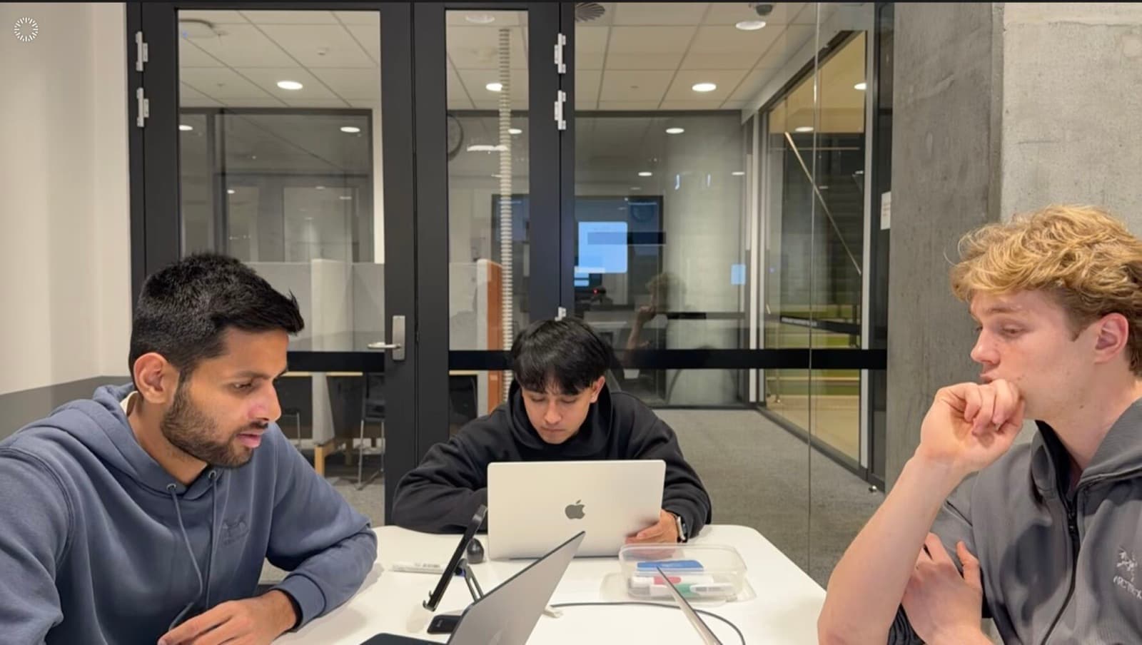
Built in 44 hours with a three-university team at the University of Sydney. A coordinator picks their village, drags a timeline from 2026 to 2075, and watches houses, wells, farms and sacred sites change status as the water rises, with adaptation options for every asset at risk.
I led the AI recommendation engine. The prompt carries each village's real context, its population, cultural constraints, budget and community capacity, into the Claude API, with guardrails that keep every recommendation tied to that village instead of generic climate advice, plus an offline fallback so the tool still works with no API at all.
The call I am proudest of was 2D over a 3D digital twin. 86% of the Pacific has mobile coverage but only 27% use mobile internet, so the real constraint is usability, not connectivity. Appropriate technology beats impressive technology.
Impact
Top 12 of 75 submissions from 110 teams, and the only finalist representing Adelaide University. Judged by a panel including Sir Peter Cosgrove, Canva, Commonwealth Bank's AI Scientist and the Pacific Region Infrastructure Facility. Under $500 per village against $10,000+ for the alternatives, on any phone from the last five years, built on IPCC AR6, SPREP and NASA sea level data. The Grand Final is on 19 August.
React · Vite · Tailwind · Leaflet · Claude API · Vercel